Ballarat and surrounds is a fantastic area for gold detecting, panning and sluicing, and we've put together this handy gold prospecting guide to get you started in the area.

If you haven't already got one, be sure to grab a Miners Right before you head out looking for gold (you can purchase one here).
WHERE TO GO GOLD DETECTING AROUND Ballarat
As well as on crown land, gold prospecting is permitted in the following forests and reserves around Ballarat.
Please note that this list is not complete (there are many smaller reserves throughout the area which aren't on this list), but will make a good starting point.
- Creswick Regional Park
- Creswick State Forest
- Ross Creek State Forest
- Enfield State Forest
- Enfield State Park
- Wombat State Forest
- Woowookarung Regional Park
- Lal Lal State Forest
- Glen Park State Forest
- Long Point Bushland Reserve
Gold panning and sluicing around Ballarat

Woady Yaloak River, Piggoreet VIC
Creeks and rivers where prospecting is not permitted
Some of the rivers and creeks around Ballarat are off limits for prospecting, with the Moorabool River, Yarrowee River, and Creswick Creek all appearing on Earth Resources' list of rivers and streams where you can't prospect for gold.
Creeks and rivers where prospecting is allowed
Fortunately there are plenty of other rivers and creeks around Ballarat which are open for gold prospecting, including:
- Woady Yaloak River
- Slaty Creek
- Mount Misery Creek
There are lots of other small creeks and gullies throughout the area, some seasonal, just be sure to double check that their name does not appear on that list of restricted rivers and streams before heading out.
There are plenty of old mining dams throughout the state forests which can be utilised for gold panning and highbanking as well. These are easily spotted on Google Maps satellite view.
These dams will generally hold water further into summer than the small seasonal gullies throughout the forests.
Slaty Creek, Creswick
Slaty Creek in Creswick is a popular destination for gold prospectors due to the three free campgrounds along the creek and the extensive surrounding forest for gold detecting.
Visitors please note that Slaty Creek is a shallow, seasonal creek which will dry up during summer (but retains puddles here and there after summer rains).
Slaty Creek is a great place to bring the family on a casual trip for easy access to a gold panning creek from the campsite.
Prospectors may prefer to find a spot on the creek further from the campground, as the area around camp is very regularly worked for gold.
Mount Misery Creek, Enfield
Mount Misery Creek is very seasonal and rarely has running water. This creek is best to visit after heavy rains and during the winter months.
MAPS FOR THE AREA
- Ross Creek and Enfield State Forests FFM Forest Notes, trail riding information, map
- Creswick Regional Park Parks Victoria visitor guide and map
- Wombat State Forest FFM Forest Notes, 4wd tour, map
- Woowookarung Regional Park Parks Victoria visitor guide and map
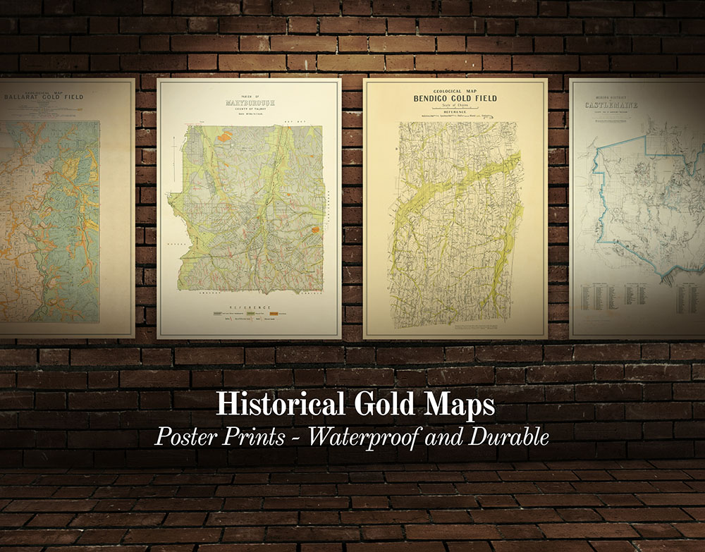
- Historical gold maps of the Victorian Goldfields
GOLD SHOPS, PROSPECTING TOURS AND DETECTOR HIRE AROUND BALLARAT
- Gold Ballarat Retail shop, detector hire
- The Mining Exchange Gold Shop, Retail shop, gold nuggets and jewellery
- Gold and Relics - Gold Prospecting Adventures, Half Day, Full Day, and Three Day tours
INTERESTING GOLD MINING HISTORY AROUND BALLARAT
The area around Ballarat is filled with fascinating ruins and relics of the region's rich mining history.
You can check out historic mines, old diggings, gold puddlers, surfaced areas, discarded boilers, and the remains of old cyanide plants.
These sites are definitely worth a look while you're in the area:
- Sovereign Hill, Ballarat
- Poverty Point, Ballarat
- The Blacksmith's Hole, Ballarat
- Eureka Stockade Memorial Gardens, Ballarat
- Centenary of Gold Discovery Monument, Ballarat
- Black Hill Reserve, Ballarat
- Devils Kitchen Geological Reserve, Piggoreet
- Jubilee Mine, Staffordshire Reef
- Creswick State Gold Battery, Creswick
- George's Diggings, Creswick
- New Australasian No 2 Gold Mine, Creswick
- Australasian Mine No 1 Historic Area, Creswick
- Long Point Bushland Reserve, Creswick
FREE CAMPGROUNDS AROUND BALLARAT
- Smythesdale Gardens, donation-based camping, 18 minutes from Ballarat
- Lake Burrumbeet Foreshore Camping Area, 22 minutes from Ballarat
- Slaty Creek, Creswick Regional Park, three campgrounds along Slaty Creek, this main one is 24 minutes from Ballarat
- Iron Mine and Blast Furnace, Lal Lal, 29 minutes from Ballarat
- Surface Point Picnic Area, Enfield State Park, 30 minutes from Ballarat
- Mount Beckworth Scenic Reserve, three different campgrounds available, 35 minutes from Ballarat
- Hunts Bridge, Morrisons, 35 minutes from Ballarat
- Dollys Creek Campground, Morrisons, 36 minutes from Ballarat
STAY SAFE WHILE GOLD PROSPECTING
Always be wary where you are walking when gold detecting in the bush, as there are lots of unexpected open mine shafts throughout the area. You will also encounter uneven ground, slippery clay in wet weather, and there is always the possibility of encountering snakes in summer. Always let someone know where you are going before heading out bush.
Other local gold prospecting guides
SEE ALSO
- Guide to gold prospecting in the Victorian Goldfields
- Places to prospect in the Victorian Goldfields
- Interactive map showing lots of places to prospect in the Victorian Goldfields
- Gold-bearing creeks and rivers in Victoria
- Crevicing for gold in creeks and rivers
- Researching gold prospecting and history - online resources
- Surfacing in the Victorian Goldfields
- Gold shops, detector hire and gold tours in the Victorian Goldfields
- YouTube channels from the Victorian Goldfields
- Dangers of mine shafts in the Victorian Goldfields
- Online directory of Victorian gold maps
- Gold prospecting maps for Victoria's State and National Parks
- Historical gold maps of the Victorian Goldfields
- How to read historical gold maps
- Gold history locations on Goldfields Guide


