Maryborough is a popular destination for gold prospectors. Countless massive gold nuggets have been found throughout the region since the 1850s, with significant discoveries still being unearthed today!
If you're interested in trying your luck gold prospecting around Maryborough, whether it's with a gold detector, gold pan, or sluice, we've put together this handy guide to get you started.
If you haven't already got one, be sure to grab a Miners Right before you head out looking for gold (you can purchase one here).
Where to go gold detecting around Maryborough

As well as on crown land, gold prospecting is permitted in the following forests and reserves around Maryborough.
Please note that this list is not complete (there are many smaller reserves throughout the area which aren't on this list), but will make a good starting point.
- Timor State Forest
- Havelock State Forest
- Craigie State Forest
- Wareek State Forest
- Bung Bong State Forest
- Bung Bong Nature Conservation Reserve
- Daisy Hill State Forest
- Talbot Nature Conservation Reserve
- Lillicur State Forest
- Caralulup Nature Conservation Reserve
- Eglington State Forest
- Majorca State Forest
- Moonlight Bushland Reserve
- Inkerman Lead Bushland Reserve
- Tipperary Hill Historic Area
- Wareek H56 Bushland Reserve
- Bristol Hill Historic Area
- Tunnel Hill Bushland Reserve
- Paddys Ranges State Park (only in designated areas, see Parks Victoria's gold prospecting map for Paddys Ranges State Park)
Gold panning and sluicing around Maryborough

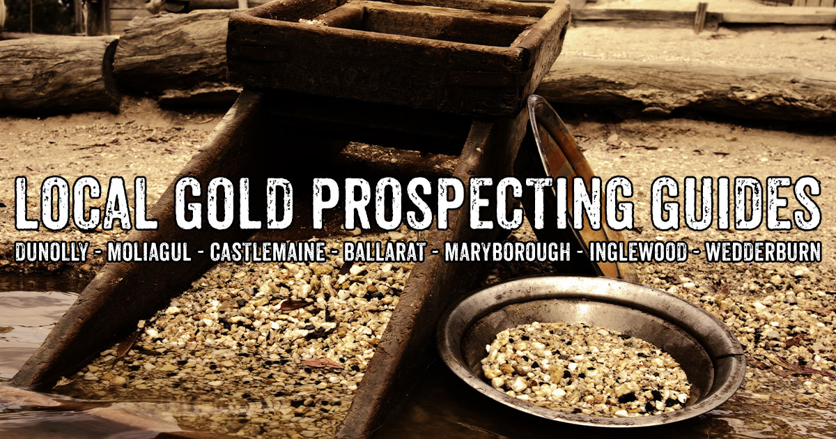
Maryborough is typically quite dry, and most the creeks and gullies where prospecting is permitted are seasonal.
Water can be scarce in the area during summer, and many gullies will have minimal flow throughout winter as well (which can be fine for panning and highbanking, but not great for river sluices).
Creeks and rivers around Maryborough where prospecting is not permitted
Most of the larger rivers and creeks around Maryborough are off limits for prospecting, with the Loddon River, Avoca River, Bet Bet Creek, McCallum's Creek and Tullaroop Creek all appearing on Earth Resources' list of rivers and streams where you can't prospect for gold.
Creeks and rivers around Maryborough where prospecting is allowed
There are still some small creeks and gullies throughout the area where gold prospecting is allowed, including Back Creek which runs alongside Talbot and Four Mile Creek which runs through Simson / Havelock.
There are loads of creeks and gullies throughout the State Forests which are small and seasonal, with many of them only holding water after rains.
These can be spotted on Google Maps, and are worth checking out during the wetter parts of the year. Just be sure to double check that their name does not appear on that list before heading out.
If you have a gold pan or a highbanker, there are plenty of old mining dams throughout the state forests which can be utilised as well.
These are easily spotted on Google Maps satellite view. These dams will generally hold water further into summer than the gullies throughout the forests.
Maps for the area
- Maryborough State Forests, FFM forest notes and map
- Parks Victoria's gold prospecting map for Paddys Ranges State Park
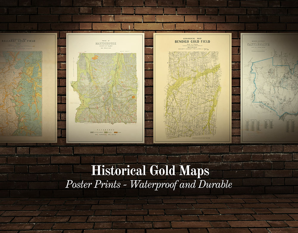
- Historical gold maps of the Victorian Goldfields
GOLD SHOPS, PROSPECTING TOURS AND DETECTOR HIRE AROUND MARYBOROUGH
- Coiltek Gold Centre, retail shop, prospecting maps, gold prospecting tours, detector hire
- Gold Detecting with Stinky Pete prospecting tours
- Chicks With Picks Australia, clothing, training days and pay dirt
INTERESTING GOLD MINING HISTORY AROUND MARYBOROUGH

The bushland around Maryborough is filled with fascinating ruins and relics of the region's rich mining history.
Places to explore include historic mines, old diggings, gold puddlers, surfaced areas, discarded boilers, and the remains of old cyanide plants.
These sites are definitely worth checking out while you're in the area:
Free campgrounds around Maryborough

Paddys Ranges Campground, Adelaide Lead VIC
Turn your prospecting trip into a camping trip, with plenty of great options around Maryborough.
- Paddys Ranges Campground within Paddys Ranges State Park, 13 minutes from Maryborough
- Stoney Creek Track Campground, within Caralulup Nature Conservation Reserve, 22 minutes from Maryborough
- Hamiltons Crossing, Baringhup West, 23 minutes from Maryborough
- Laanecoorie Loddon River Recreation Reserve, 24 minutes from Maryborough
- Moliagul Campground, 28 minutes from Maryborough
- Mount Beckworth Scenic Reserve, three different campgrounds available, 30 minutes from Maryborough
Self-sufficient campers can also set up camp throughout the State Forests of the area.
Stay safe while gold prospecting

Always be wary where you are walking when gold detecting in the bush, as there are lots of unexpected open mine shafts throughout the area. You will also encounter uneven ground, slippery clay in wet weather, and there is always the possibility of encountering snakes in summer. Always let someone know where you are going before heading out bush.
Other local gold prospecting guides
SEE ALSO
- Guide to gold prospecting in the Victorian Goldfields
- Places to prospect in the Victorian Goldfields
- Interactive map showing lots of places to prospect in the Victorian Goldfields
- Gold-bearing creeks and rivers in Victoria
- Crevicing for gold in creeks and rivers
- Researching gold prospecting and history - online resources
- Surfacing in the Victorian Goldfields
- Gold shops, detector hire and gold tours in the Victorian Goldfields
- YouTube channels from the Victorian Goldfields
- Dangers of mine shafts in the Victorian Goldfields
- Online directory of Victorian gold maps
- Gold prospecting maps for Victoria's State and National Parks
- Historical gold maps of the Victorian Goldfields
- How to read historical gold maps
- Gold history locations on Goldfields Guide


