Take a look through the following sections to find gold maps for prospecting in Victoria, including historical maps, state/national park maps, interactive online maps, and gold map books you can buy online.
Historical gold maps
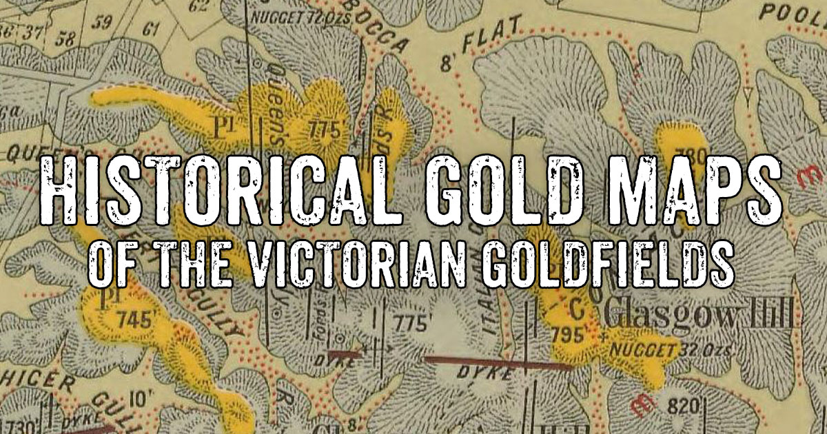
- Historical gold maps of the Victorian Goldfields - This huge list of maps links to historical maps for various towns and regions throughout the Victorian Goldfields. These maps have been selected because they display useful information regarding the location of reefs, leads, diggings, mining operations, and geological features. All these maps are free to view online.
- How to read historical gold maps.
- Historical goldfields maps, large high quality prints.
Maps for gold prospecting in Victoria's State and National Parks

Red Knob Mining Landscape, Castlemaine Diggings National Heritage Park
- Gold prospecting maps and information for Victoria's State and National Parks - Although most State and National Parks in Victoria are off limits for gold prospecting, some of them do have designated areas where prospecting is permitted. Parks Victoria provides a series of maps showing the designated prospecting areas within some of these parks. Download links for the available prospecting maps and some links to places of interest for these areas are provided on this page.
Online mapping applications
- Geovic - Free online mapping application that enables you to build your own earth resource related maps, perform searches and access data, using a huge range of data sources.
- AUSGIN Geoscience Portal - Free online data discovery and analysis portal for geoscience data from all of Australia's state, territory and federal governments. Includes 1:250 000 scale scanned geological maps.
- Victorian Online Gold Maps - Purchase easy to use mapping packages to explore gold mines, shallow workings, quartz reefs, deep leads and Crown land. It can be used on a PC, tablet or mobile phone. There are 10 maps in the series covering 125 named Victorian goldfields.
- Signal Maps - Purchase and download gold prospecting maps to your device, or purchase printed versions. These maps feature topographic contours, refined diggings boundaries, worked and unworked quartz reefs, gold puddlers, surfaced areas, historic and recreation areas.
Gold map books to purchase online
Gold maps for other states
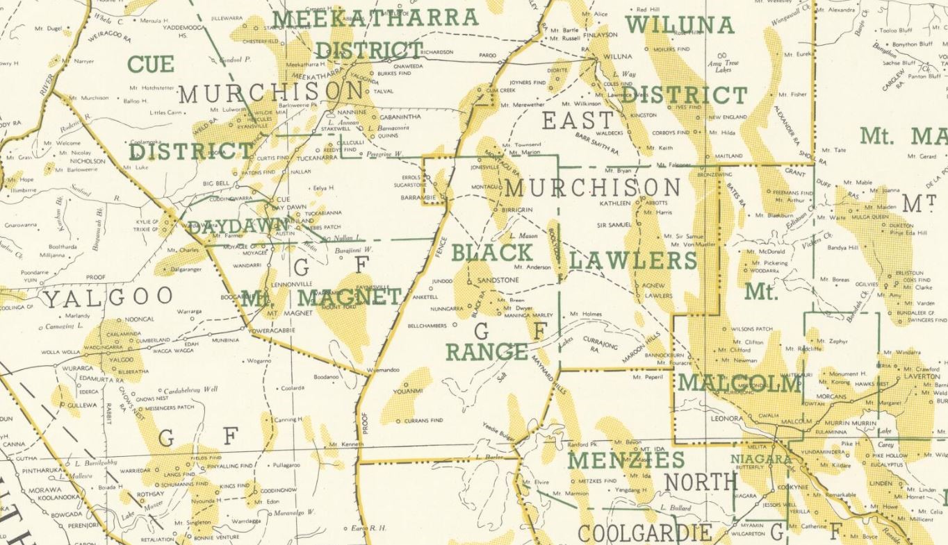
Section of 1958 map of Western Australia, showing gold bearing areas. Image source, National Library of Australia.
